As we travel back to geography class in 5th grade, we think of rivers running down hill from the mountains to the ocean. However, the Genesee River runs North from central New York, past the Erie Canal and into the Great Lakes, draining 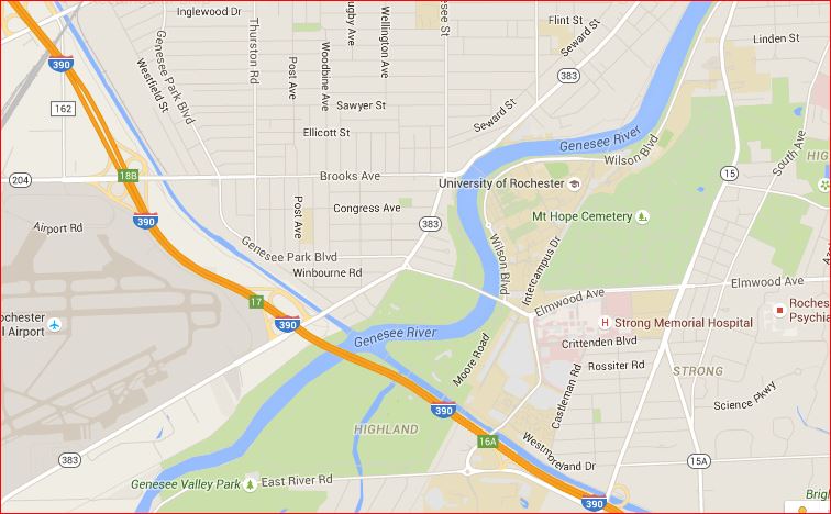 much of northern New York in the process.
An interesting part for us is the Genesee River, about 1/4 mile wide, actually crosses the canal, creating an intersection with, as we crossed the river, boats on the canal going Northwest while junk from the latest heavy storm, travels Northeast.
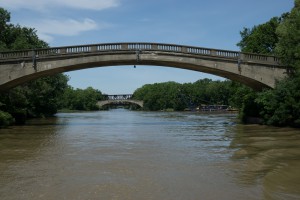
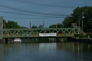
The photo on the right shows the two bridges spanning the Erie Canal on either side of the Genesee River.
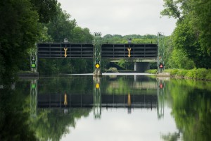 In the photo on the left (click on it to see what a piece of engineering is involved) we traveled under the arrows with sufficient height to clear the boats permitted to use the Canal.
The Erie Canal flowed, at times, inside embankments above the natural landscape. During times of flood, or when a river crossed the canal, giant gates were erected that could be closed to protect the surrounding community. In this case, should the Genesee river flood, the Canal Authority would close the gate, stopping canal traffic temporarily and protect the countryside along the canal, and the canal itself, from damage. If these safety gates were not in place and if the Genesee River flooded, the embankment (the “Grand Embankment”) nearby might breech, draining the canal and I presume the Great Lakes into the land below.
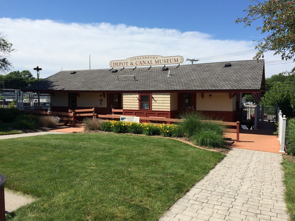
After crossing the Genesee River, we traveled on to Spencerport, tieing up at the Canal Museum shown in the photo below.
We enjoyed a Birthday Dinner for Stu at the Bad Apple – the food was much better than the name.
The next morning, we continued on to Brockport and some heavy rain. After a short visit, we continued to our next destination, Holley.
